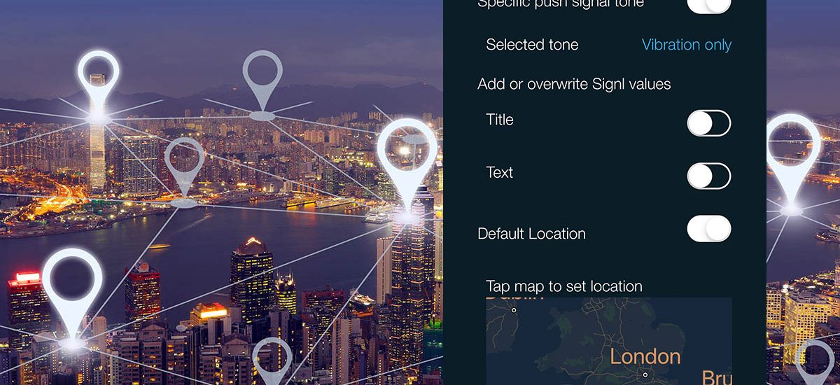
SIGNL4 provides great support for geolocation information and in multiple ways. When a new alert with geolocation information is displayed in the mobile app, the app renders a map to visualize geographic information of the incident. A double click allows to open the default map application on the mobile device, e.g. to get directions or traffic information.
Overview
Here is how geolocation and GPS information can be attached to an alert signl:
- When raising a location or emergency alert in the mobile app (you need to authorize the app to get access to GPS information)
- When raising a new alert in the web portal (just pick a location in the displayed map)
- When sending an event to SIGNL4 to create a new alert signl (you need to use the X-S4-Location parameter)
- By augmenting new alerts through a category with pre-set geolocation information
Tutorial video
The following videos shows how geolocation information can be used:


